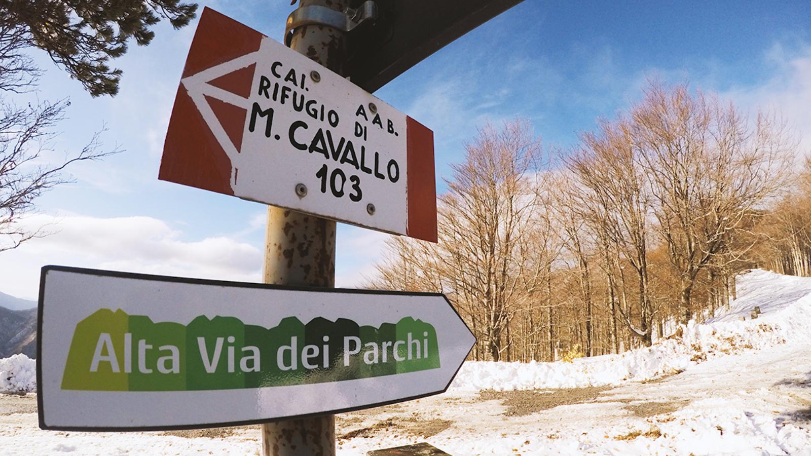
The Alta Via dei Parchi is an interregional route between Emilia Romagna, Tuscany and Marche, which has the peculiarity of developing at a high altitude, between ridges and crests. The entire route is about 500 km long, divided into 27 stages that can also be walked individually: in this case, it is possible to study a loop route or use public transportation to return to the starting point.
Given the length of the Alta Via dei Parchi, it is easy to imagine the variety of landscapes that can be admired along the route, which passes through regional parks (Corno alle Scale, Suviana and Brasimone, Vena del Gesso Romagnola, Alto Appennino Modenese, Cedra and Parma Valleys), national parks (Appennino Tosco-Emiliano and Foreste Casentinesi) and the interregional park Sasso Simone and Simoncello. Walkers will move over the high ridges of the Cisa Pass and Corno alle Scale, amid boundless views and high-altitude lakes (such as Scaffaiolo or the Modenese Lago Santo), then descend through lush woods and forests that conceal silent hermitages and places of faith such as the monastery of Camaldoli, the sanctuary of La Verna and that of Boccadirio. The Alta Via ends in the Marche region, after climbing Mount Carpegna. Also truly unmissable are the landscapes of Suviana Park and the paths of Alpe di Monghidoro.
This trail is perfect for those who want a full contact with nature, achieved also thanks to the nights spent in mountain huts, the best facilities to fully experience the emotions that the Alta Via dei Parchi can provide.


